Topographical Surveys
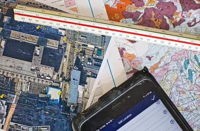
Igne’s topographical surveys deliver precise site data for planning, design, and construction using the latest GPS, total station, and UAV technology.
Igne delivers the most comprehensive range of land, engineering and construction surveying services for ground investigation.
About
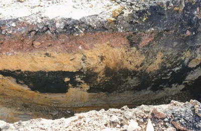
Surveys play a crucial role in ground investigation, offering precise data that forms the foundation of any successful construction or development project.
Surveys involve the detailed measurement and mapping of a site’s physical features, subsurface characteristics, and existing structures or utilities.
This data is essential for understanding the site’s conditions and for making informed decisions during the planning, design, and construction phases of a project.
At Igne, our survey services encompass a wide range of methods and technologies to provide comprehensive insights into your site.
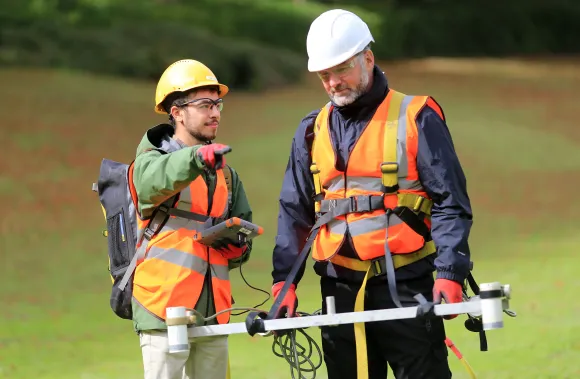
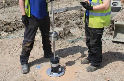
Using the latest underground utility detection technologies, including Stream DP, Radio Frequency Location (RFL), and Ground Penetration Radar (GPR), Igne can also accurately locate and identify all buried services and utilities.
Whether you need to assess topographical features, locate underground utilities, measure building dimensions, or monitor changes over time, our surveys deliver the accurate data you need to proceed with confidence.
Trust expertise
Commissioning survey services from Igne is an investment in the success of your project.
Ground-related issues can cost millions if not identified and managed properly. By using our advanced surveying techniques, you can mitigate these risks early in the lifecycle of your project, saving time, money, and resources.
Igne’s survey services ensure you have a clear understanding of your site’s attributes, enabling you to plan and execute your project with precision.
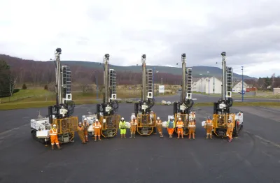
Igne is not just another survey provider. We bring a specialist and diverse in-house resource to every project, ensuring that our experts deliver robust and timely survey data. Our team is experienced in working across various sectors, including residential, commercial, industrial, and infrastructure, making us well-equipped to handle projects of any size or complexity.
Surveys are an essential component of site investigation, providing the accurate data needed to plan, design, and execute construction projects successfully. Igne’s comprehensive survey services, backed by our specialist in-house resources and advanced technologies, ensure that your project is built on a solid foundation of reliable information.
Survey lifecycle
The process of conducting a survey begins with understanding the specific needs of the project. At Igne, we work closely with our clients to define the scope of the survey, ensuring we gather the data that is most relevant to your project goals.
Our team then designs a tailored survey plan, selecting the most appropriate techniques and technologies to achieve the desired outcomes.
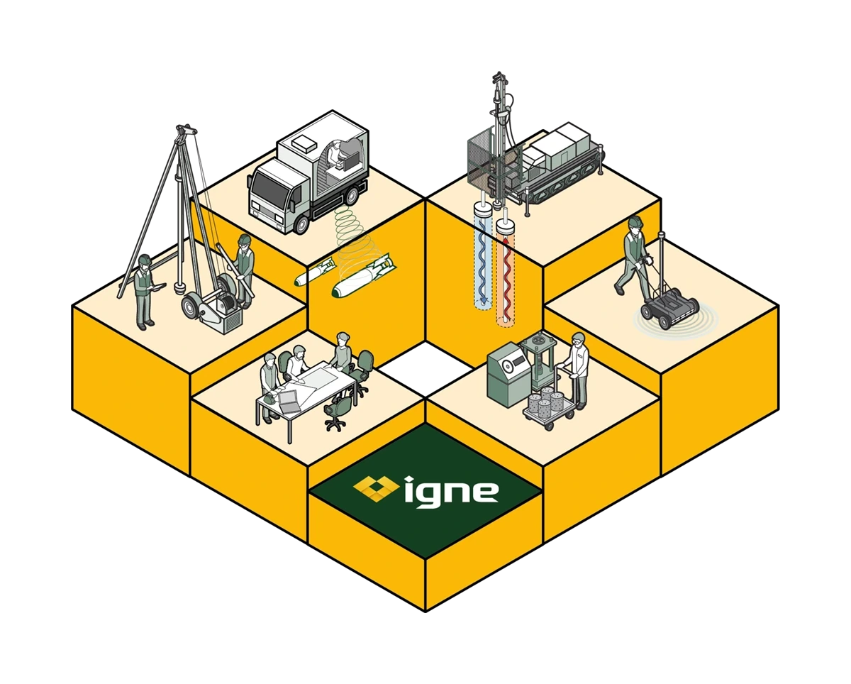
Surveys are carried out using a range of sophisticated tools and methods, including:
Benefits
Surveys provide benefits that are critical to the success of any construction or development project.
Here are some of the key advantages of commissioning survey services from Igne:
Risk Mitigation
identify potential issues before they become costly problems. By understanding a site’s conditions, you can avoid unexpected complications during construction.
Informed Decision-Making
accurate survey data allows for better decision-making throughout the project lifecycle. From initial planning to final construction, having reliable data ensures that you are making informed choices at every stage.
Cost Efficiency
by identifying potential issues early, surveys help to avoid costly delays and rework. This leads to more efficient use of resources and keeps your project on schedule and within budget.
Regulatory Compliance
many projects require surveys to meet regulatory requirements. Igne’s survey services ensure that your project complies with all relevant standards and regulations.
Design Optimisation
surveys provide the data needed to optimise the design of your project. Whether it’s aligning structures with existing features or planning the layout of utilities, surveys ensure that your design is both practical and efficient.
Learn More
Surveys provide detailed data about a site’s physical features, subsurface conditions, and existing structures. This information is crucial for planning, design, and construction, helping to mitigate risks and ensure project success.
The duration of a survey depends on the size and complexity of the site, as well as the specific survey techniques used. A simple topographical survey may take a few days, while more complex surveys, such as utility mapping or monitoring, may take longer.
What makes us unique at Igne is that we work with you to ensure you receive the survey service and data you actually need. In all too many cases we come across plans where extensive surveying is requested when not needed. It is our commitment to you that you will receive only the service and data you need – nothing more and certainly nothing less
Modern surveys use a range of advanced technologies, including Stream DP, Radio Frequency Location (RFL), GPS, laser scanning, ground penetrating radar (GPR), drones (UAVs), and CAD software. These tools allow for precise data collection and detailed analysis.
Utility surveys are important because they help to locate and map underground utilities. This is critical for avoiding damage during excavation and construction, which can be costly and dangerous.
Drone surveys provide high-resolution aerial data, allowing for a comprehensive view of large or difficult-to-access sites. This data can be used for mapping, planning, and monitoring, making drone surveys a valuable tool for many projects.
The Next Step
To learn more about the specific surveys we offer, or to discuss your site’s needs, we invite you to explore our detailed service pages or contact us directly.
Our team is ready to provide the insights you need to ensure the success and safety of your project.
Explore all our Site Investigation Services


![]()


![]()